Bilberry Bank
Photo from the book 'Wilsden in Times Past', published in 1985. Author Gary Firth.
c1900-1910
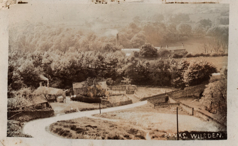
Bilberry Bank
c1900-1910
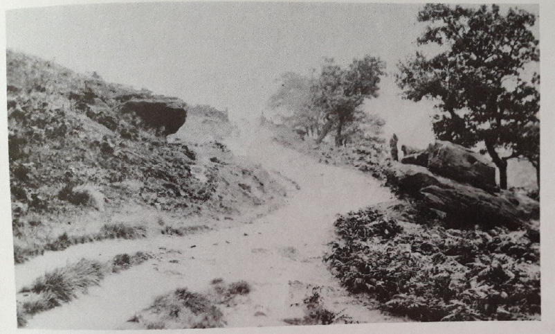
Bilberry Bank
c1900-1910
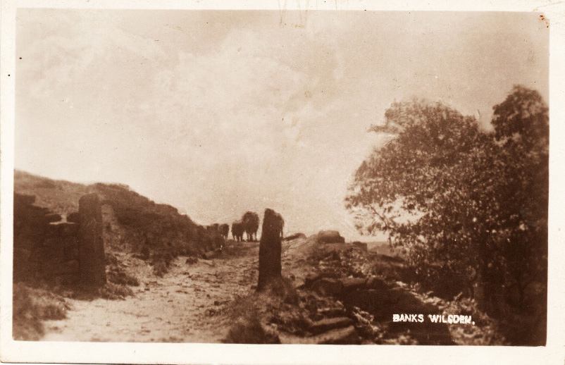
Bilberry Bank
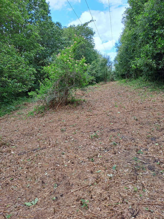
After bracken cut back with a hawthorn entwined with honeysuckle
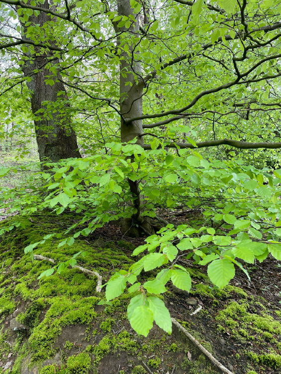
Bilberry Bank
Beech
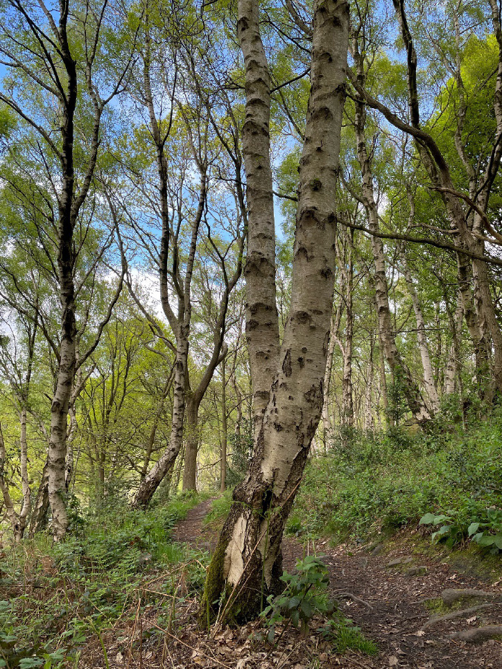
Bilberry Bank
Downy Birch
Bilberry Bank
Greater Stichwort
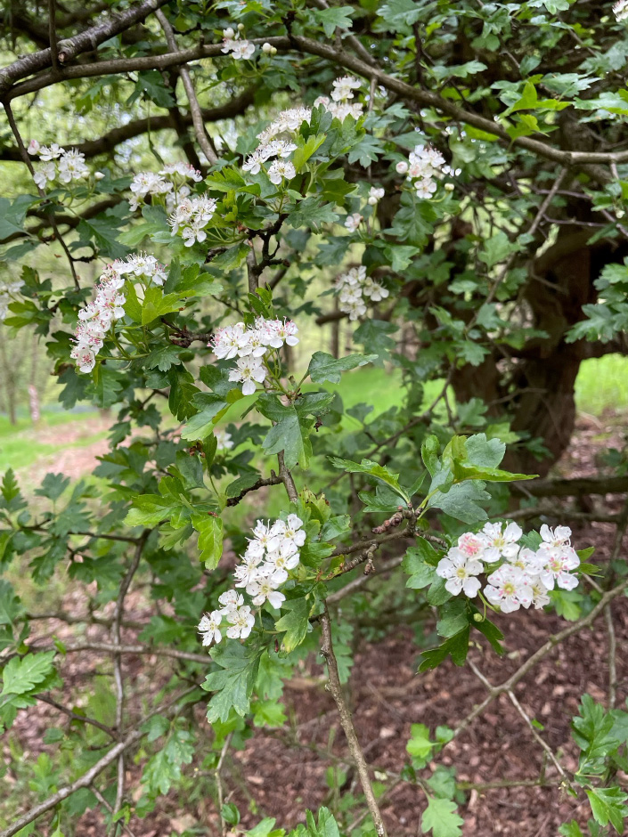
Bilberry Bank
Hawthorn
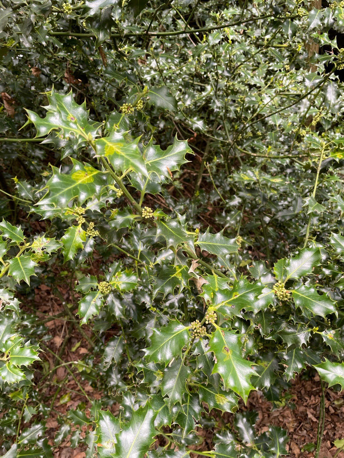
Bilberry Bank
Holly
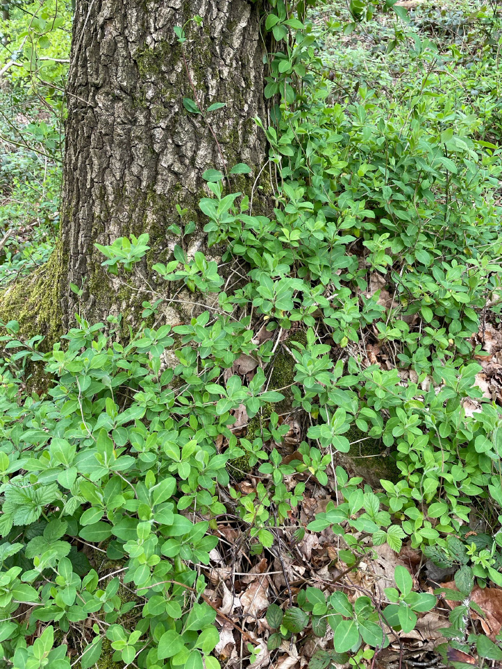
Bilberry Bank
Honeysuckle
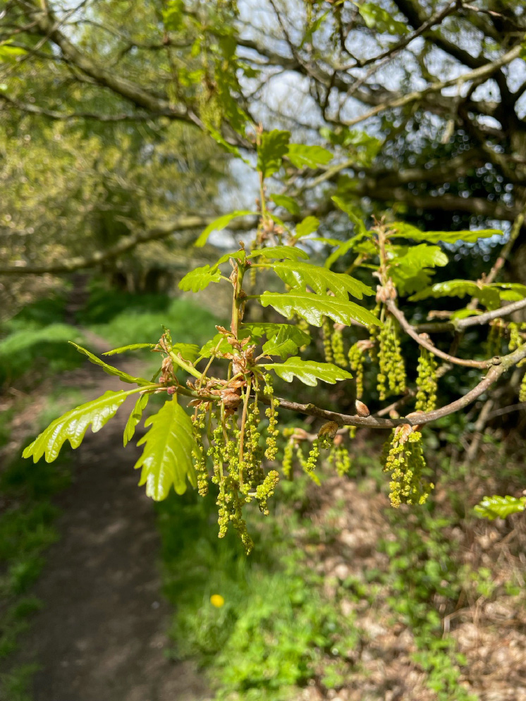
Bilberry Bank
Oak
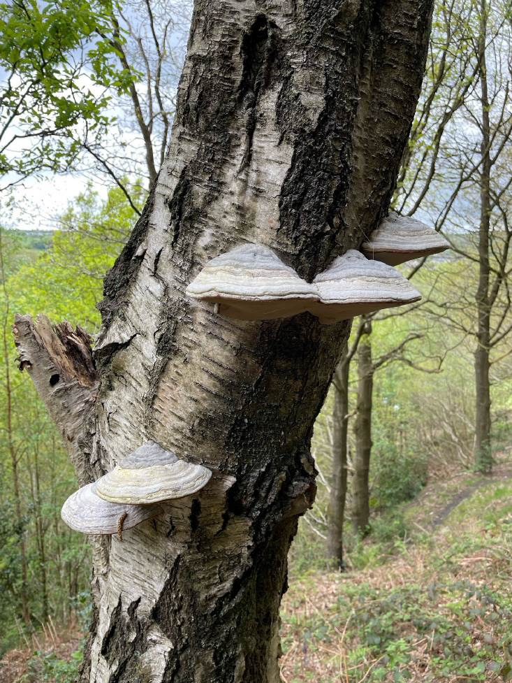
Bilberry Bank
Hoof fungus
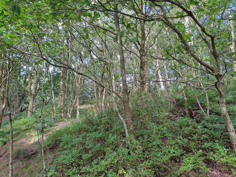
Bilberry Bank
Bilberry overshadowed by birch
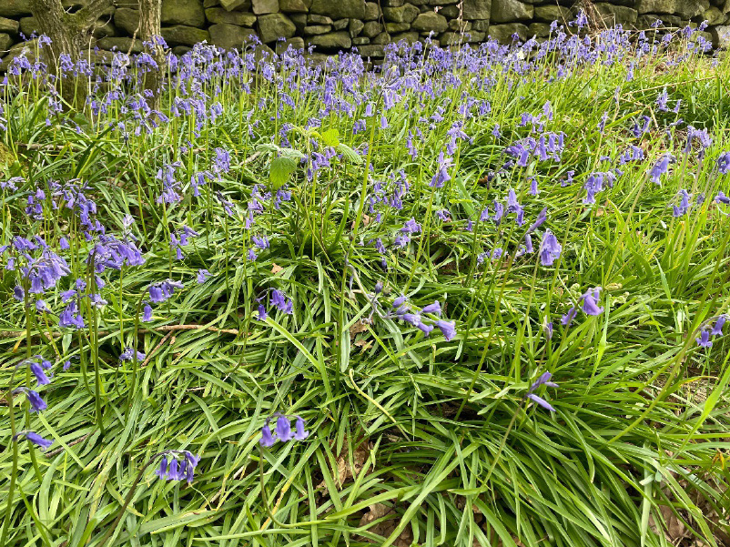
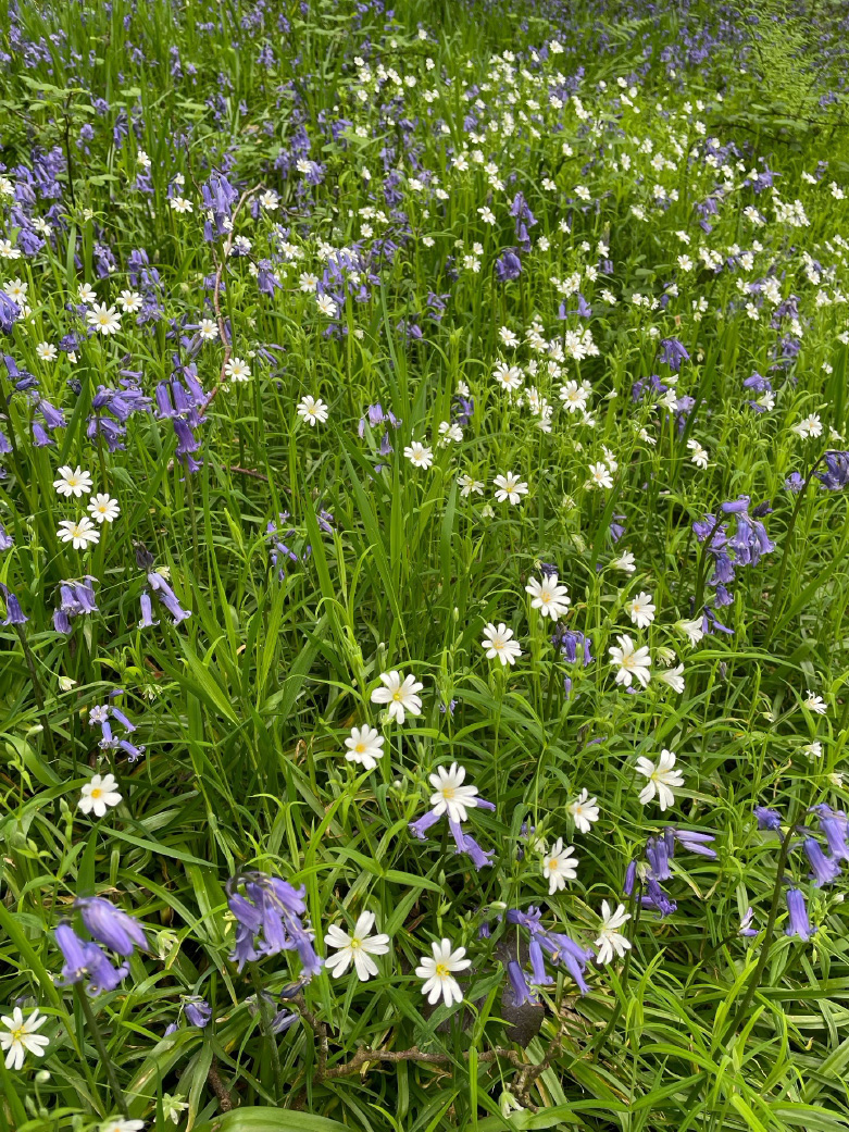
Bilberry Bank
Bluebells
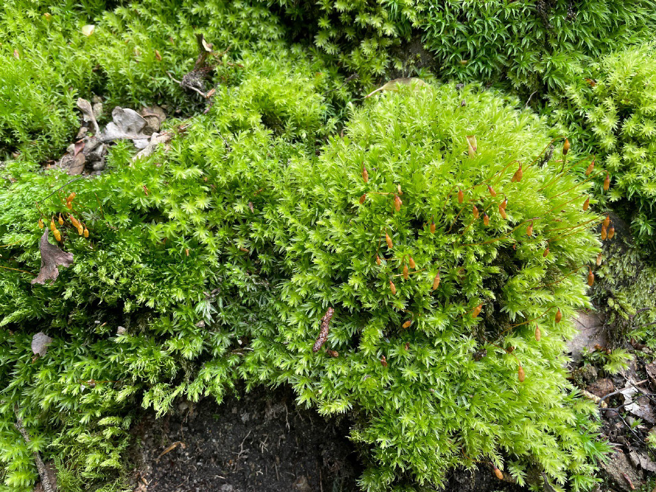
Bilberry Bank
Moss